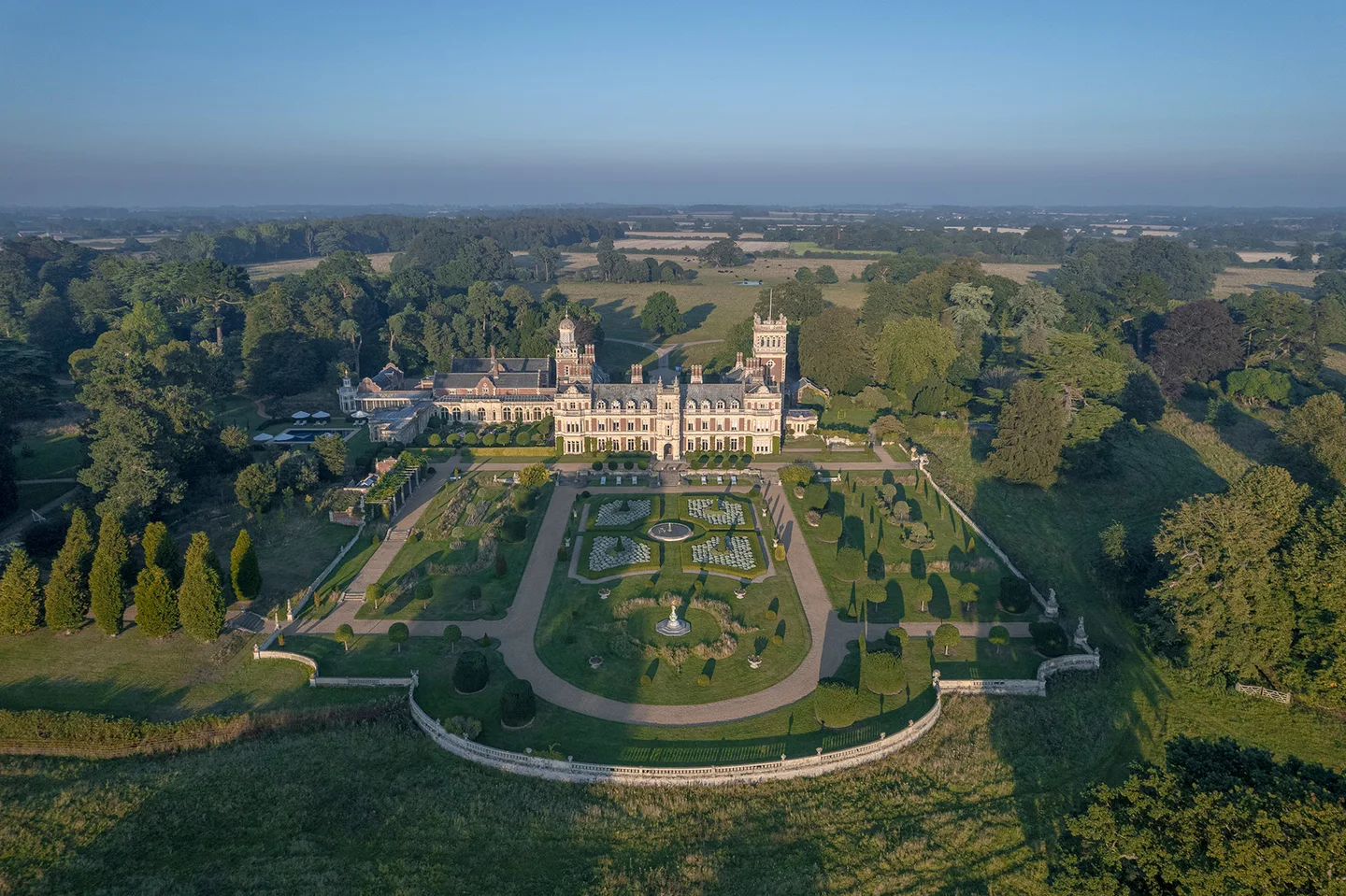
Spatial / Heritage & landscape
A place becomes an experience.
A photographic estate atlas connecting places, stories, historic layers and an interactive garden walk.
REAL PLACES. REAL DATA. REAL IMPACT.
Maps, plans and project data become places people can actually navigate, compare and use.
Interactive capability demonstration · illustrative concept imagery
Districts, destinations, movement and opportunity remain visible as one connected place.
OPEN THIS VIEW ↗ONE SPATIAL MODEL. MANY USEFUL VIEWS.
Move from city to property without losing context.

Connect districts, destinations, movement and development structure in one explorable place.
EXPLORE →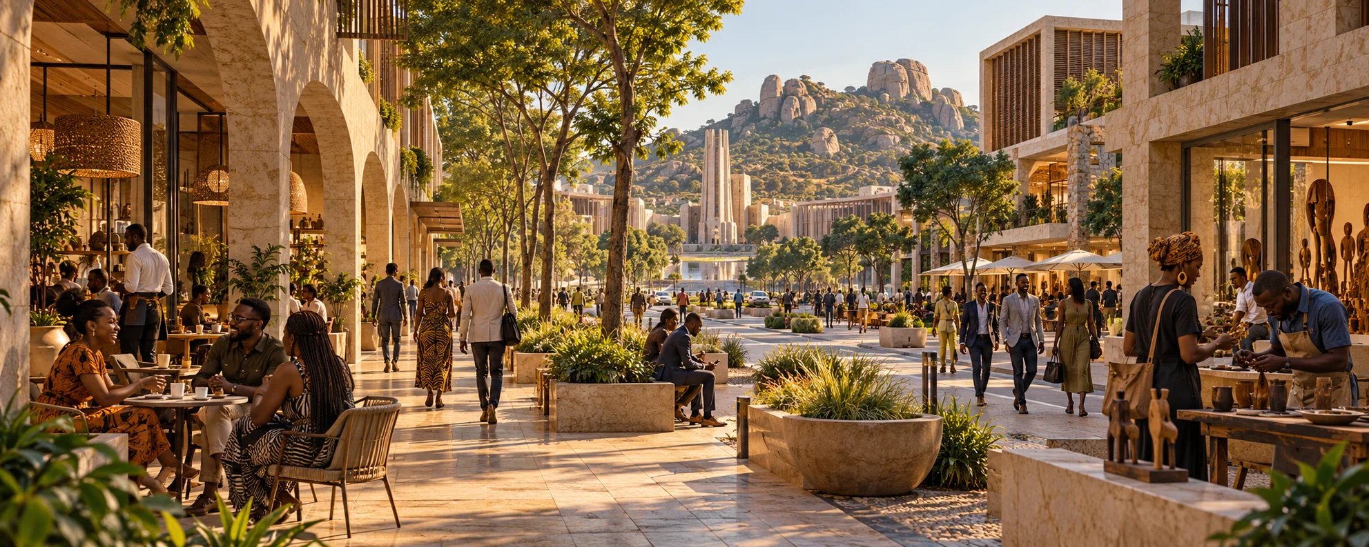
Explore character, land use, amenities, landscape and access without losing the wider context.
EXPLORE →
Connect buildings and units to layouts, availability, specification, orientation and enquiry.
EXPLORE →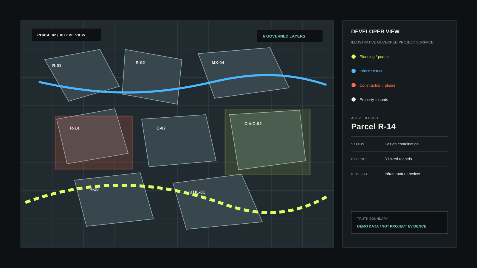
Layer project status, infrastructure, phasing and governed records onto the exact place they describe.
EXPLORE →Choose a demonstrator, move through scale, select a district or building, then inspect the evidence context without losing the spatial thread.
Development, phase, block, building, floor and unit. The same model a sales team, a buyer and a project team can each read for their own reasons.
Nyaradzo Gardens / Block A / A-01 / Phase 01
WORKING CONCEPT / DIASPORA CITY ZIMBABWE
Diaspora City explores the system at city scale: move through place, switch layers and keep evidence connected to geography.
OPEN DIASPORA CITY ZIMBABWE ↗START WITH THE MATERIAL YOU HAVE.
Selected work / Working worlds
Places you can enter. Products you can use. Explore the work and the thinking behind it.
More from the studioSpatial / Heritage & landscape
A photographic estate atlas connecting places, stories, historic layers and an interactive garden walk.
Studies, concepts and working products are labelled by their current stage. Somerleyton photography: Somerleyton Estate.
The next piece of work
A map. A dataset. A difficult process. A business taking its next step.
Let’s give it a clear direction and a proper build.