03 / Industry practice · Zimbabwe × United Kingdom
Geospatial platforms, property explorers and estate experiences
Connect location, evidence, design and place-based stories through interactive maps, property interfaces and digital atlases.
01 / Understand the challenge
Before the build, ask better questions.
Masterplans, stand availability, land records, visitor routes and heritage stories are often separated. A spatial system should help people see the relationship between a location, its underlying information and the decision they need to make.
Which map geometry and coordinates are authoritative?
What is a conceptual masterplan versus an approved planning document?
Who may update availability, price, occupancy or planning status?
How will visitors move from a map view to relevant evidence or an enquiry?
02 / What the work could include
Build for the real operation.
These are potential components, not an assertion that every system has already been deployed. The precise scope and acceptance criteria are agreed with each client.
Prepare a project brief ↗Interactive atlas or geospatial interface with searchable places
Stand, property or asset records linked to mapped location
Responsive visitor and estate-exploration journeys
Data-source notes, map acceptance criteria and ownership guidance
03 / Evidence, correctly described
Relevant work. Real boundaries.
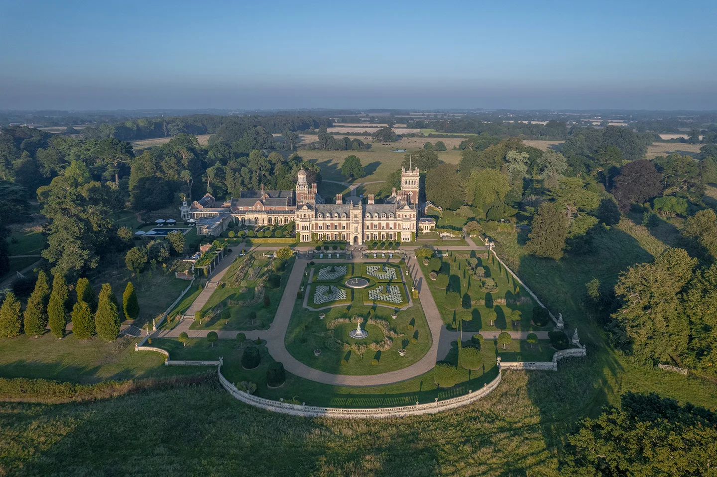
Somerleyton Living Estate
A photographic atlas connecting place, narrative, map layers and an interactive garden walk.
Explore the recorded work ↗04 / Prepare to commission
A useful brief starts with evidence.
Use non-sensitive examples at first. Access to restricted systems and sensitive records is arranged separately.
- 01Survey or GIS files, their coordinate reference systems and source dates
- 02Approved maps, drawings and any usage restrictions
- 03Place descriptions, photography rights and accessibility considerations
- 04Desired visitor, investor or staff actions and evidence requirements
06 / Common commissioning questions
Questions worth resolving.
Can the studio create a 3D property or stand explorer?
Yes, subject to having reliable geometry, approved plans, authoritative property records and a clearly defined distinction between conceptual and legally verified information.
How do you avoid inaccurate maps?
We identify coordinate systems and source dates, separate confirmed geometry from illustrative plans, document assumptions and test the map against known references before publication.