An interactive map or atlas
A navigable geographic experience with the right scales, layers and filters for the people using it.
Solution 04 / Bring a place to life
Connect maps, properties, stories and evidence in an experience that helps people understand a place and take a useful next step.
ForEstates, property teams, destinations, planners and community projects
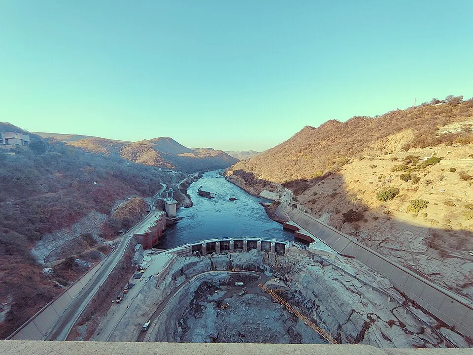
Context photography · Sources & credits ↗
What we can deliver
Choose the elements your organisation needs. The brief determines how they fit together.
A navigable geographic experience with the right scales, layers and filters for the people using it.
Places linked to agreed schedules, documents, images and source references, with uncertainty kept visible.
Property exploration, place-based stories or visitor journeys with clear routes into enquiry, further evidence or the next location.
Documented source layers, record ownership, update responsibilities and an agreed approach to publishing changes.
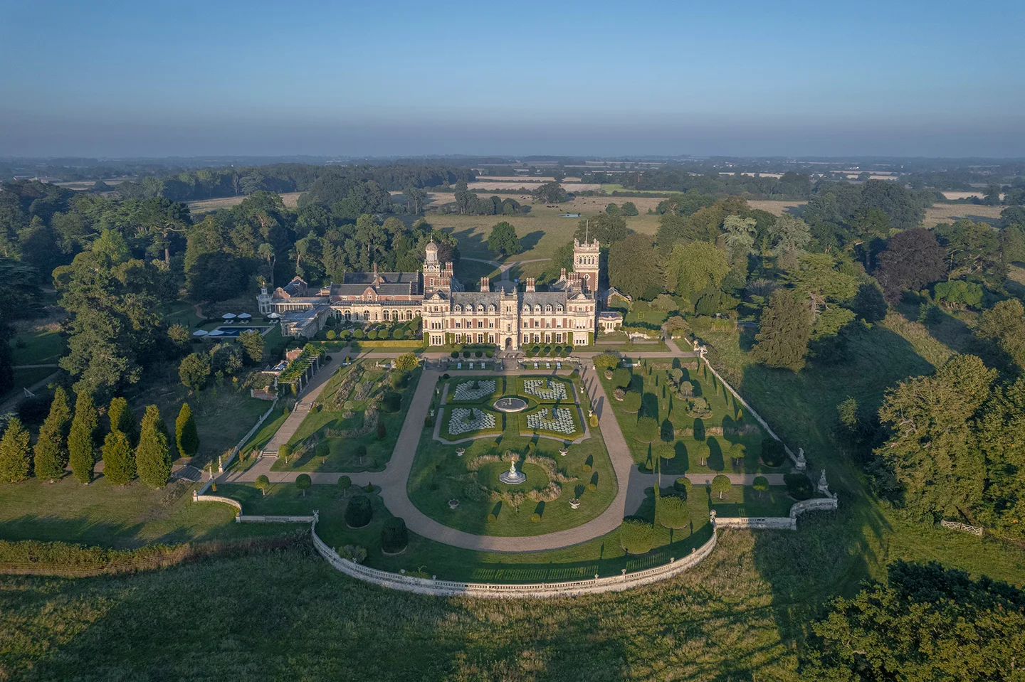
Photography: Somerleyton Estate
Inspect a related example
Independent working study
Explore the independent estate study through its photographic atlas, layered stories and garden walk. Estate photography is credited to Somerleyton Estate.
Read the project walkthroughAn independent working study is not a claim of a commissioned or approved estate project. Estate photography is credited to Somerleyton Estate. The study illustrates the studio's spatial approach.
Before we begin
Acceptance & handover
Agree who updates the records, source layers and stories. Data refreshes, seasonal content and new experience layers can follow a defined maintenance scope.
Accuracy follows the supplied evidence and agreed validation. Concept models and independent studies retain their labels; specialist surveying or planning responsibilities are defined separately when needed.
Follow the detail
Enter the full Spatial practice and connected models ↗Your next step
Bring the map, plan or place records you already have. We will review the sources and the experience the information needs to support.